
Land Cover Classification Using Python: A Comprehensive Guide
Land cover classification is a critical task in remote sensing and geospatial analysis, enabling us to understand and monitor changes in the Earth’s surface. From tracking deforestation and urbanization to assessing agricultural productivity and natural resource management, land cover classification provides valuable insights for environmental and urban planning. With the rise of powerful programming languages like Python, this task has become more accessible and efficient than ever before. This comprehensive guide will walk you through the process of land cover classification using Python, covering everything from data acquisition to model evaluation.
What is Land Cover Classification?
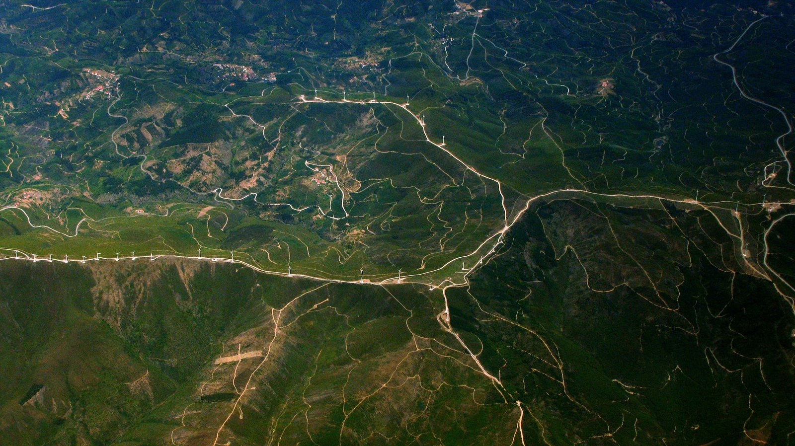
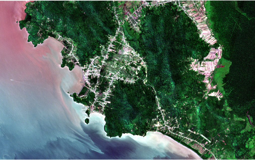
Land cover classification involves categorizing the Earth’s surface into distinct classes, such as forests, water bodies, urban areas, and agricultural land. This process is typically performed using satellite imagery or aerial photographs, combined with machine learning algorithms to identify patterns and assign labels to different regions.
Applications of Land Cover Classification
- Environmental Monitoring: Tracking deforestation, desertification, and wetland changes.
- Urban Planning: Analyzing urban sprawl and infrastructure development.
- Agriculture: Assessing crop health and land use patterns.
- Disaster Management: Mapping flood-affected areas or wildfire damage.
- Climate Change Studies: Monitoring changes in land cover over time.
Why Use Python for Land Cover Classification?
Python has become the go-to language for geospatial analysis and machine learning due to its simplicity, versatility, and extensive library ecosystem. Here’s why Python is ideal for land cover classification:
- Rich Libraries: Python offers powerful libraries like NumPy, Pandas, Scikit-learn, and TensorFlow for data processing and machine learning.
- Geospatial Tools: Libraries like GDAL, Rasterio, and GeoPandas make it easy to work with geospatial data.
- Visualization: Tools like Matplotlib and Folium enable the creation of informative maps and visualizations.
- Community Support: Python’s large and active community ensures access to tutorials, forums, and open-source projects.
Step-by-Step Guide to Land Cover Classification Using Python
Step 1: Data Acquisition
The first step in land cover classification is acquiring satellite imagery or geospatial data. Popular sources include:
- Landsat: Provides multispectral imagery with a resolution of 30 meters.
- Sentinel-2: Offers high-resolution imagery with 10-meter resolution.
- MODIS: Provides daily global coverage with lower resolution.
- OpenStreetMap: Offers free, crowd-sourced geospatial data.
You can download data from platforms like Google Earth Engine, USGS Earth Explorer, or Copernicus Open Access Hub.
Step 2: Preprocessing the Data
Raw satellite imagery often requires preprocessing before it can be used for classification. This includes:
- Clipping: Extracting the region of interest using a shapefile or bounding box.
- Resampling: Adjusting the resolution of the imagery.
- Atmospheric Correction: Removing distortions caused by the atmosphere.
- Normalization: Scaling pixel values to a standard range.
Python libraries like Rasterio and GDAL are invaluable for these tasks.
Step 3: Feature Extraction
Satellite imagery contains multiple spectral bands (e.g., red, green, blue, near-infrared), each providing unique information about the land cover. Feature extraction involves combining these bands to create meaningful features for classification. Common techniques include:
- NDVI (Normalized Difference Vegetation Index): Highlights vegetation.
- NDWI (Normalized Difference Water Index): Identifies water bodies.
- PCA (Principal Component Analysis): Reduces dimensionality while preserving information.
Step 4: Preparing Training Data
Supervised classification requires labeled training data. You can create training samples by manually labeling regions of the image or using existing datasets. Libraries like Scikit-learn and GeoPandas can help manage and process this data.
Step 5: Model Training
Once the data is prepared, you can train a machine learning model. Popular algorithms for land cover classification include:
- Random Forest: A robust and interpretable algorithm.
- Support Vector Machines (SVM): Effective for high-dimensional data.
- Convolutional Neural Networks (CNNs): Ideal for handling complex spatial patterns.
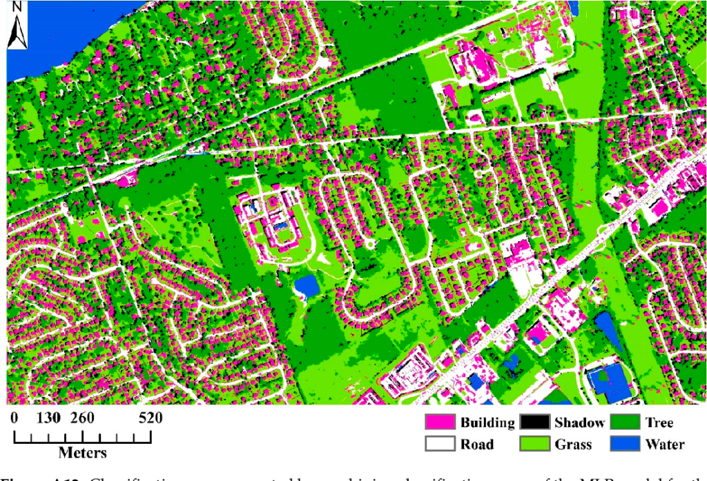
Step 6: Classification
After training the model, you can use it to classify the entire image. This involves predicting the land cover class for each pixel.
Step 7: Post-Processing
Post-processing improves the quality of the classification results. Techniques include:
- Smoothing: Reducing noise using filters or morphological operations.
- Majority Filtering: Reclassifying isolated pixels based on their neighbors.
- Accuracy Assessment: Evaluating the model’s performance using metrics like overall accuracy and kappa coefficient.
Step 8: Visualization
Visualizing the results is essential for interpretation and communication. Python libraries like Matplotlib and Folium make it easy to create maps and plots.
Challenges and Best Practices
Challenges
- Data Quality: Poor-quality imagery or incomplete training data can affect classification accuracy.
- Class Imbalance: Uneven distribution of land cover classes can bias the model.
- Computational Resources: Processing large datasets can be resource-intensive.
Best Practices
- Use High-Quality Data: Ensure the imagery and training data are accurate and representative.
- Balance Classes: Use techniques like oversampling or class weighting to address class imbalance.
- Optimize Workflow: Leverage cloud computing or parallel processing for large datasets.
Conclusion: Unlocking the Power of Python for Land Cover Classification
Land cover classification is a powerful tool for understanding and managing our planet’s resources. With Python, this complex task becomes accessible and efficient, thanks to its rich ecosystem of libraries and tools. By following the steps outlined in this guide, you can harness the power of Python to analyze satellite imagery, train machine learning models, and generate actionable insights.
Whether you’re an environmental scientist, urban planner, or data enthusiast, land cover classification using Python offers endless possibilities for exploration and innovation. So, dive in, experiment, and contribute to a deeper understanding of our ever-changing world.
Leave a Reply