
Forest Drones: Aerial Photogrammetry – Revolutionizing Forestry Management
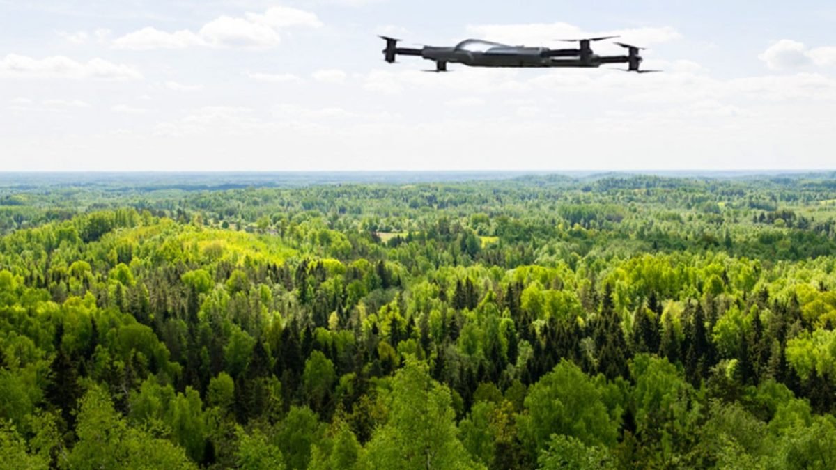
Soar through towering canopies, capturing the secrets of the forest with cutting-edge drone technology. Aerial photogrammetry, the art of transforming aerial imagery into precise 3D models, empowers us to explore hidden ecosystems and track changes in vegetation with unmatched accuracy. Unveil the forest’s rich tapestry like never before, mapping tree heights, canopy density, and carbon sequestration with unprecedented detail. With drone eyes, we delve deeper into the heart of the forest, unlocking its secrets and safeguarding its future. …
Continue readingForest Drones: Aerial Photogrammetry – Revolutionizing Forestry Management